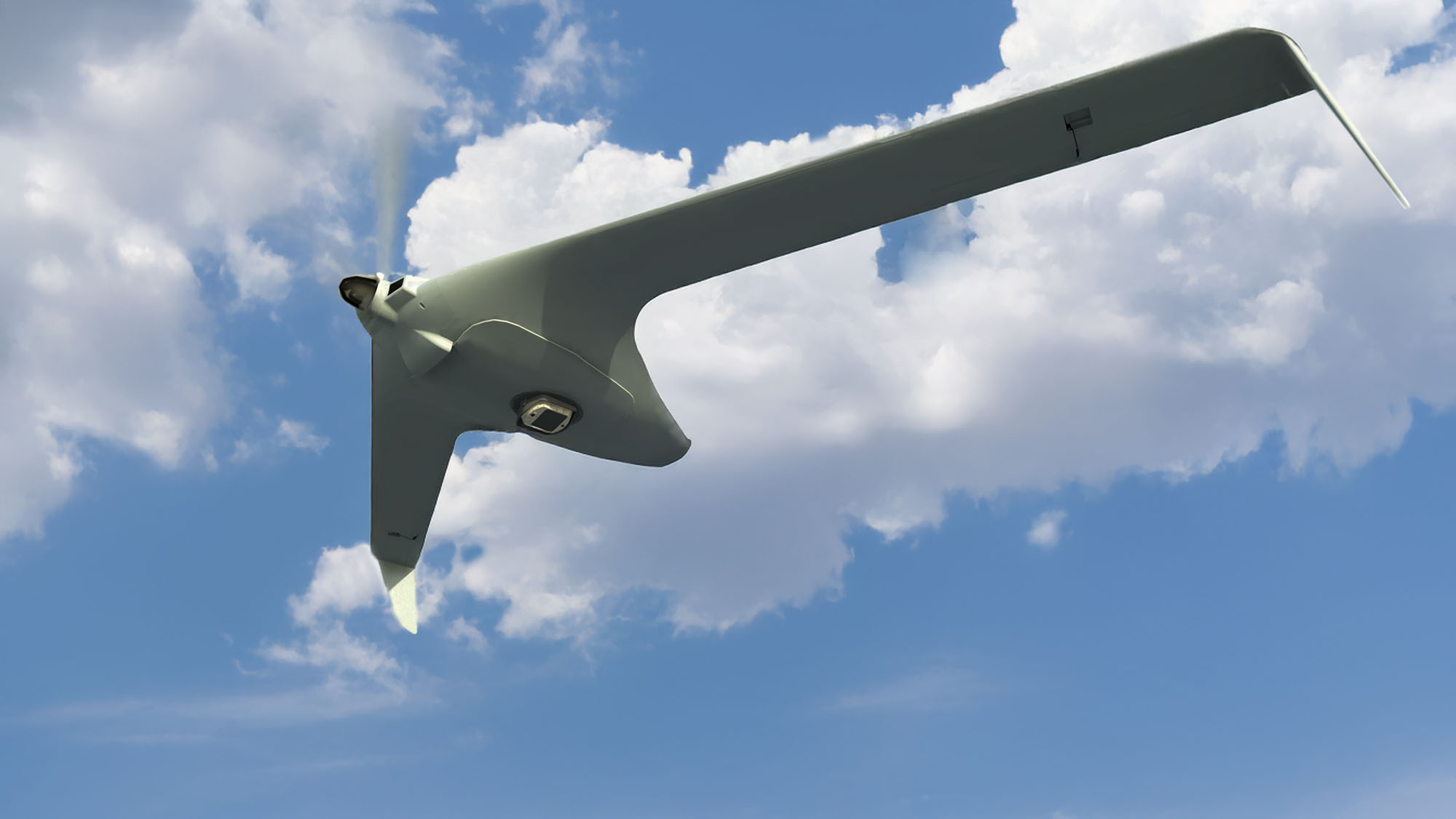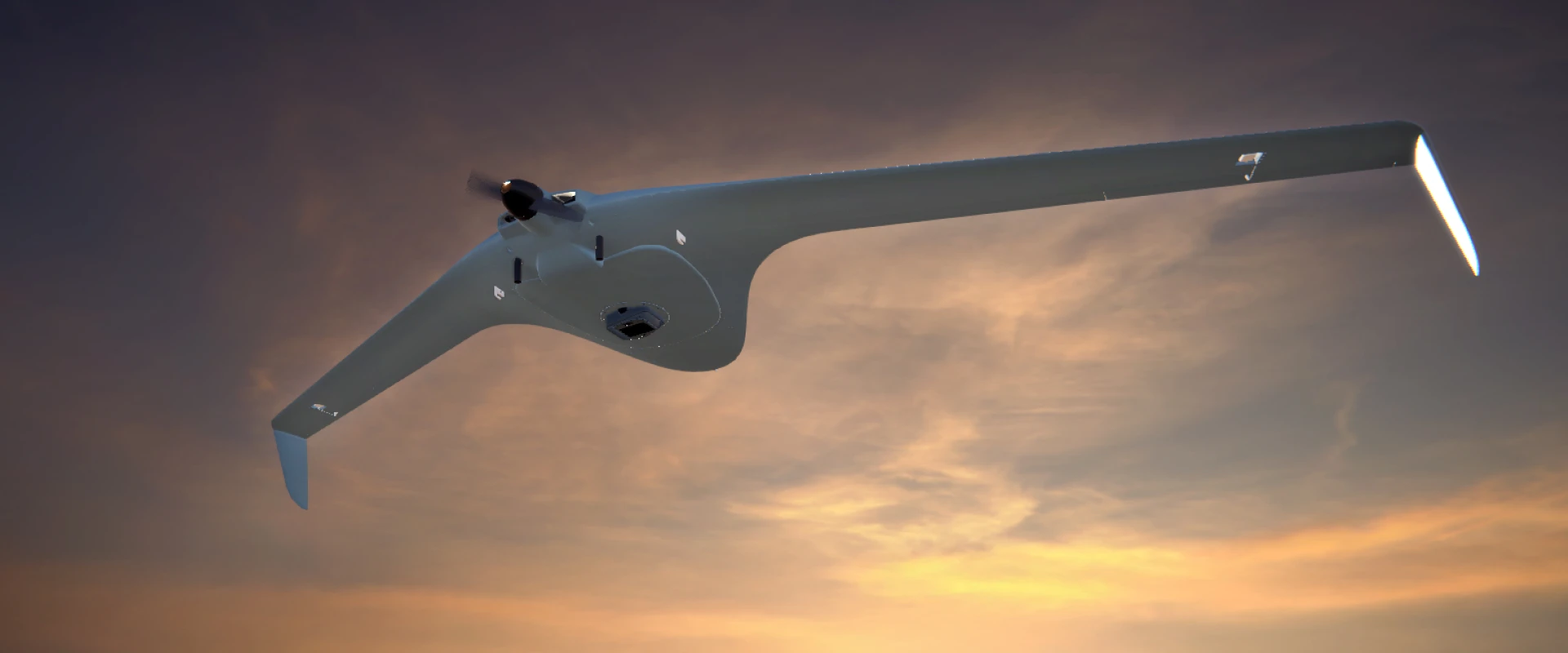
OVERVIEW
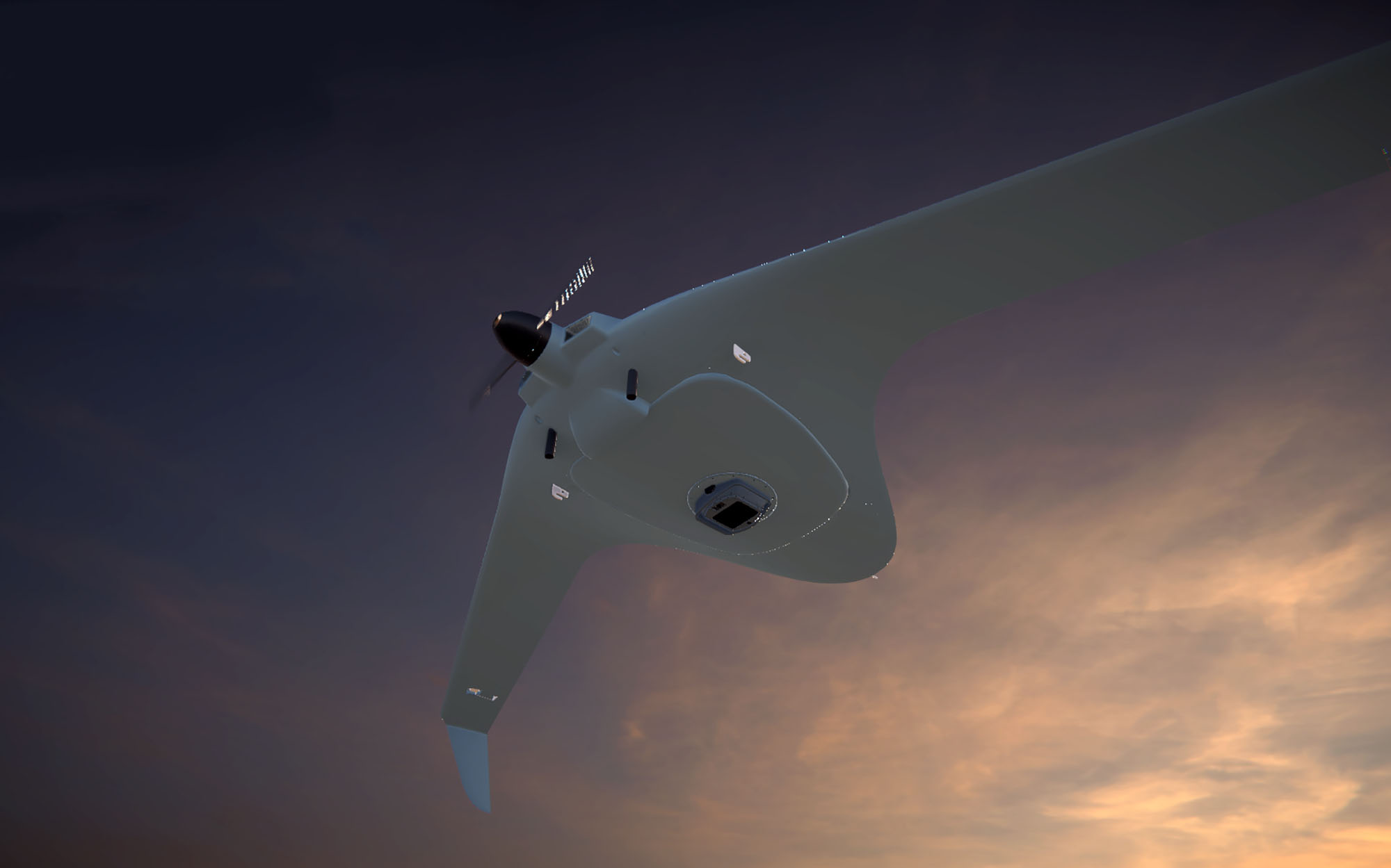
The observation capabilities of current Electro-Optical Payloads provide limited situational awareness, creating a need for airborne platforms to have a comprehensive solution that can continuously monitor wide areas while simultaneously detecting and tracking multiple objects of interest. WASP addresses this need as a compact airborne EO system with Day and Night WAMI (Wide Area Motion Imagery) sensors, enabling persistent monitoring, target detection, tracking, and a full situational awareness picture of the surveilled area.
HIGHLIGHTS
- Compact airborne EO and IR Sensor
- Persistent wide field-of-view coverage
- Designed for easy installation onboard airborne platforms
- Continuous operation, Day and Night
Values & Benefits
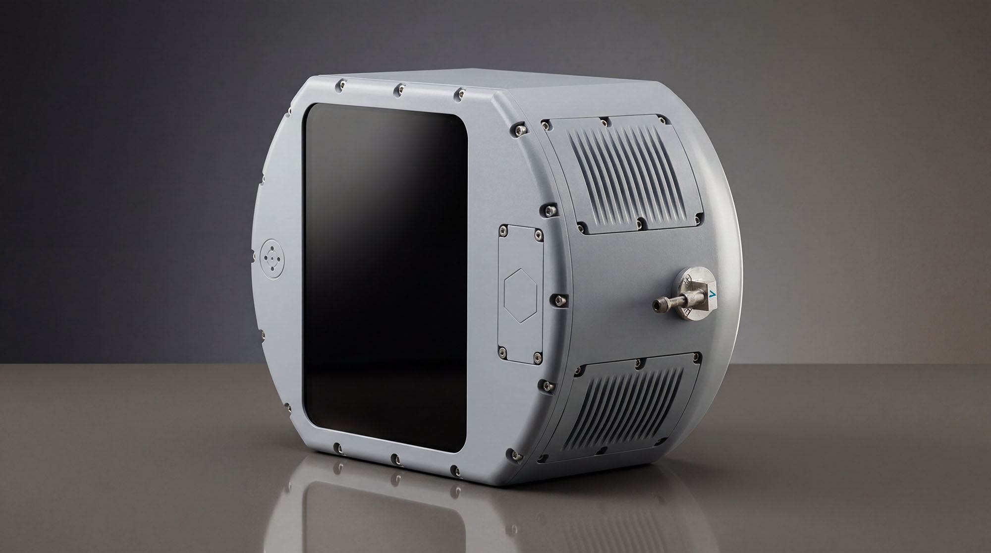
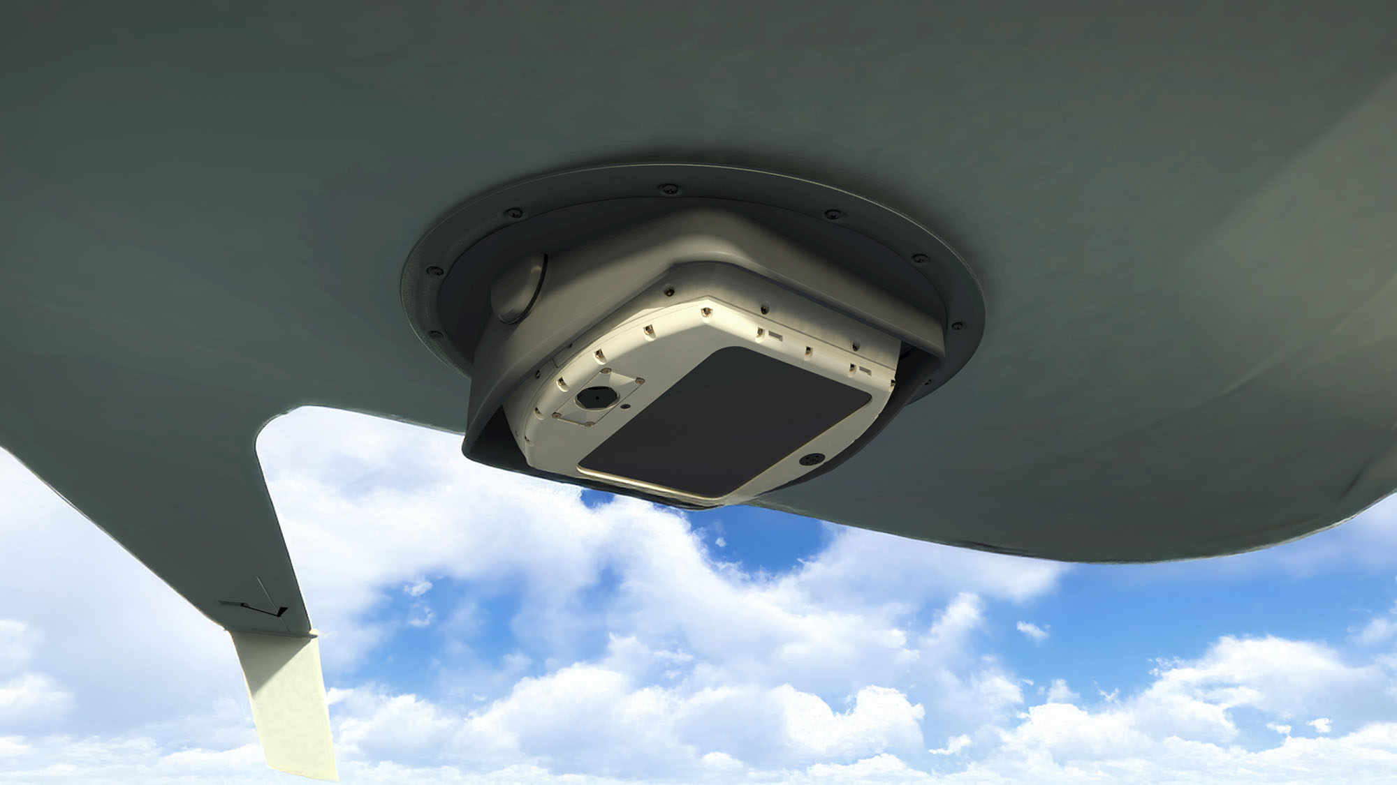
WASP offers persistent wide field-of-view coverage with “narrow” field-of-view resolution in a unique compact SWaP (Size, Weight and Power) form factor. It features simultaneous Color Visible and Thermal (Mid-Wave IR) imagery, allowing continuous day and night operation.
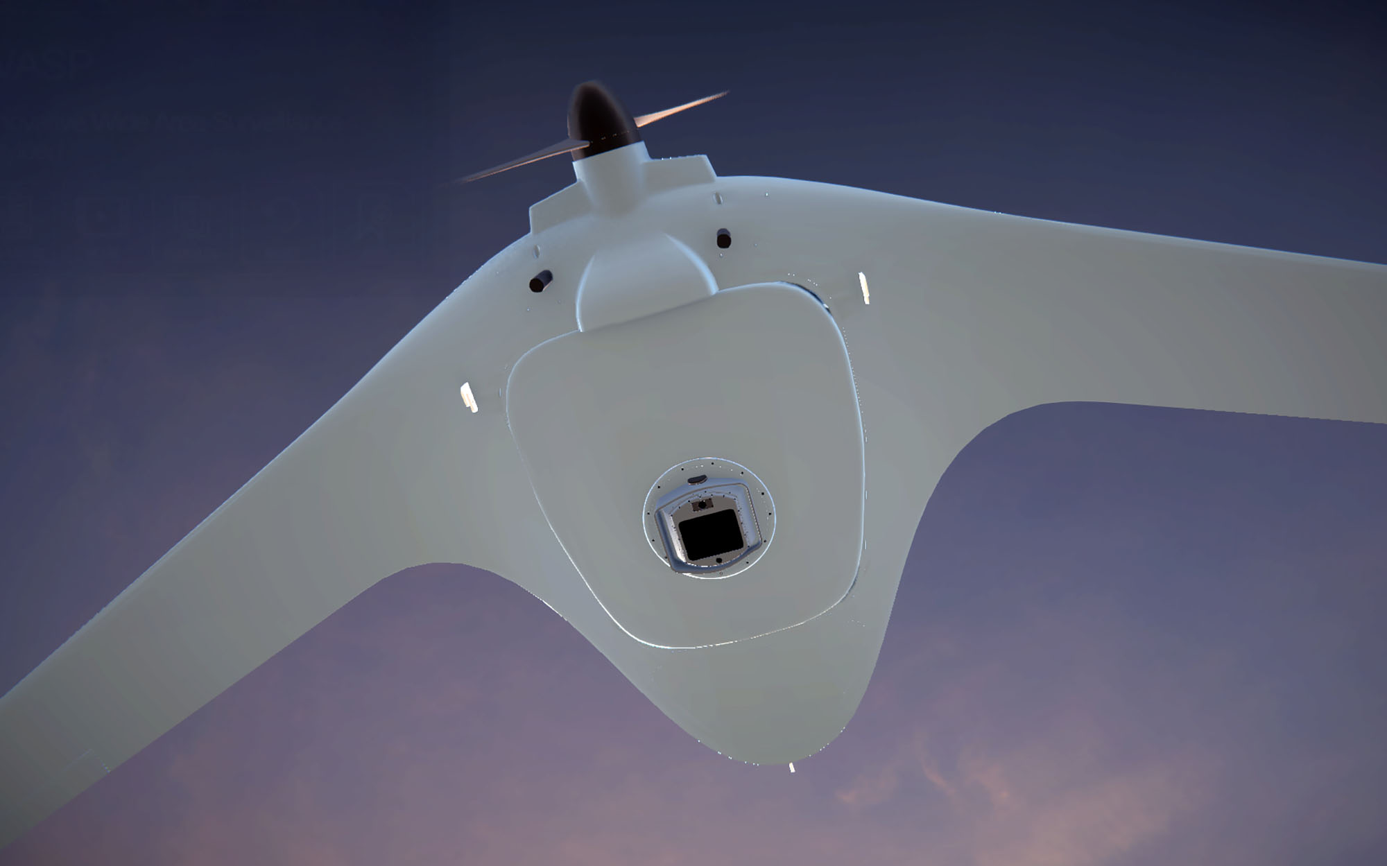
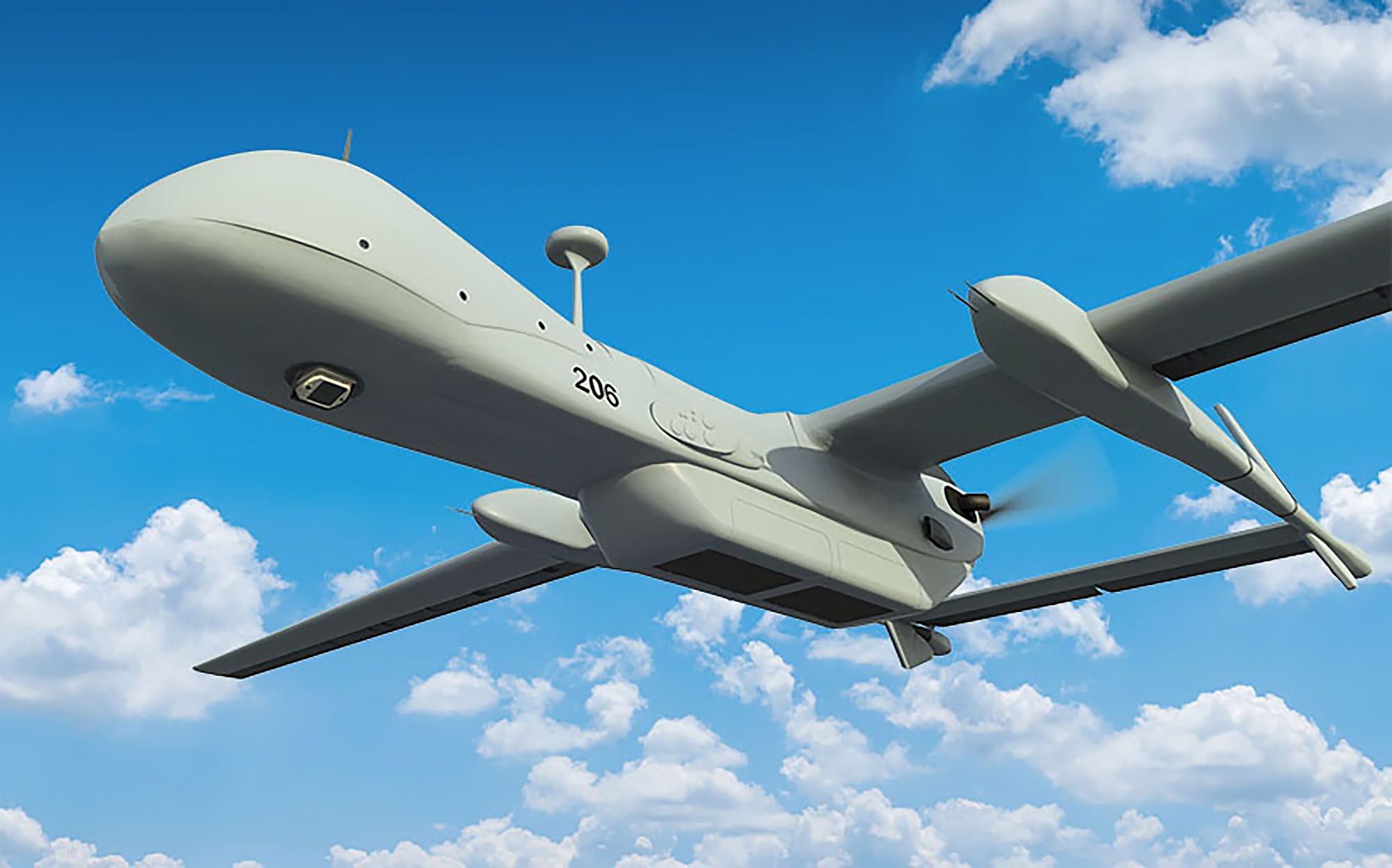
WASP is designed for easy installation onboard fixed-wing, rotary-wing, unmanned aircraft, and aerostats. Its 3-axis stabilization design enables the collection of sharp imagery during platform maneuvers and vibrations.
An airborne Digital Processing Unit (DPU) can be provided with the WASP. The DPU employs advanced data and image processing algorithms for automatic detection, classification, and tracking of objects of interest in the monitored area.
IAI is a world pioneer in gyro-stabilized systems and EO/IR payloads for airborne platforms. Its comprehensive product range includes operationally proven gyros, accelerometers, and cameras, with thousands of systems integrated and delivered to various platforms over the past 40 years. IAI is the main supplier of EO solutions for the IDF Air Force and Navy, with systems enriched by strong operational and military experience.
Technical Details
- Technical Details
- Simultaneous Visible and IR imagery Field Of View: 52° X 48°
- Lightweight and compact, 6.5 Kg (Not including DPU) Scanning rate is programmable up to 1.5Hz in the full Field Of View
- Ground Resolution, Visible and MWIR 0.15m at 6kft altitude 0.5m at 20kft altitude Integrated navigation system provides geo-reference for each pixel
- Area Coverage, Visible and MWIR 2km² at 6kft altitude 20km² at 20kft altitude USB3 interface
- Imagery of the entire FOV can be provided, or multiple windows in full resolution